
File:Map of the Eastern Cape with Mnquma highlighted (2011).svg

Size of this PNG preview of this SVG file: 800 × 534 pixels. Other resolutions: 320 × 214 pixels | 640 × 428 pixels | 1,024 × 684 pixels | 1,280 × 855 pixels | 2,560 × 1,710 pixels | 928 × 620 pixels.
Original file (SVG file, nominally 928 × 620 pixels, file size: 458 KB)
.svg)
Summary
| Description |
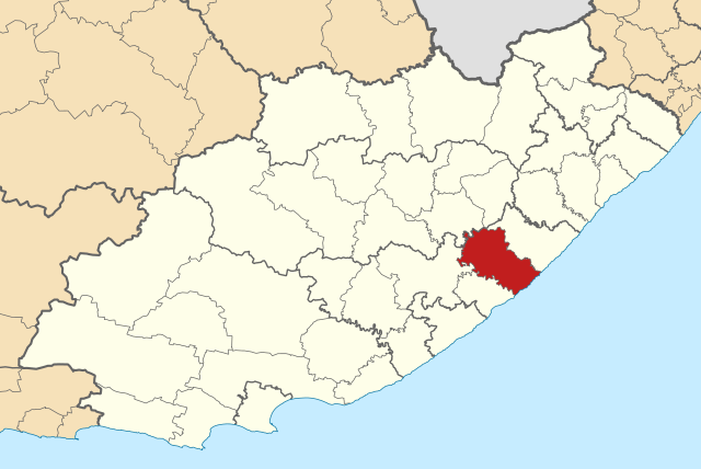
English: Map of municipal boundaries in the Eastern Cape, as they will be after the municipal elections of 18 May 2011, with the Mnquma Local Municipality highlighted in red. Based on File:Map of the Eastern Cape with municipalities blank (2011).svg. |
| Date | |
| Source | Own work |
| Author | Htonl |
.svg)
Licensing
I, the copyright holder of this work, hereby publish it under the following licenses:

|
Permission is granted to copy, distribute and/or modify this document under the terms of the GNU Free Documentation License, Version 1.2 or any later version published by the Free Software Foundation; with no Invariant Sections, no Front-Cover Texts, and no Back-Cover Texts. A copy of the license is included in the section entitled GNU Free Documentation License. |
This file is licensed under the Creative Commons Attribution-Share Alike 4.0 International, 3.0 Unported, 2.5 Generic, 2.0 Generic and 1.0 Generic license.
- You are free:
- to share – to copy, distribute and transmit the work
- to remix – to adapt the work
- Under the following conditions:
- attribution – You must give appropriate credit, provide a link to the license, and indicate if changes were made. You may do so in any reasonable manner, but not in any way that suggests the licensor endorses you or your use.
- share alike – If you remix, transform, or build upon the material, you must distribute your contributions under the same or compatible license as the original.
You may select the license of your choice.
File history
Click on a date/time to view the file as it appeared at that time.
| Letsatsi/Nako | Thumbnail | Dimensions | Mosebelisi | Comment | |
|---|---|---|---|---|---|
| current | 12:37, 2 Motsheanong 2011 | | 928 × 620 (458 KB) | Htonl | == Summary == {{Information |Description ={{en|1=Map of municipal boundaries in the Eastern Cape, as they will be after the municipal elections of 18 May 2011, with the [[w:Mnquma Local Mu |
Tšebeliso ea faele
The following page uses this file:
Global file usage
The following other wikis use this file:
- Tšebeliso ho af.wikipedia.org
- Tšebeliso ho en.wikipedia.org
- Tšebeliso ho es.wikipedia.org
- Tšebeliso ho fr.wikipedia.org
- Tšebeliso ho ha.wikipedia.org
- Tšebeliso ho ig.wikipedia.org
- Tšebeliso ho pl.wikipedia.org
- Tšebeliso ho sw.wikipedia.org
- Tšebeliso ho ts.wikipedia.org
- Tšebeliso ho www.wikidata.org
- Tšebeliso ho yo.wikipedia.org
- Tšebeliso ho zu.wikipedia.org
.svg)